Predictive Ecosystem Mapping
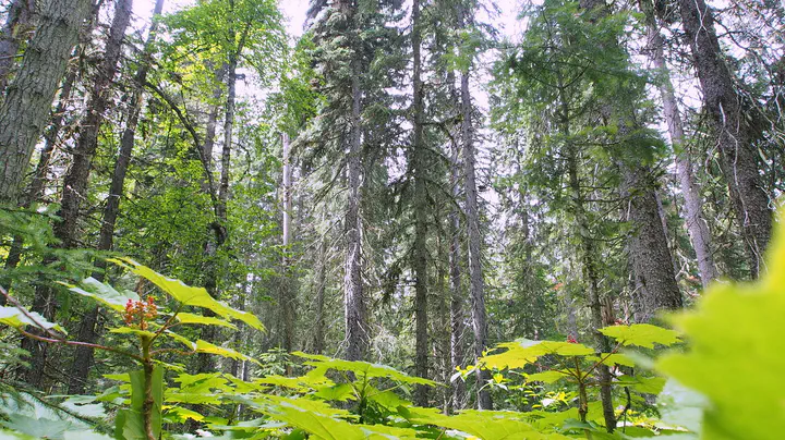 A devil’s club site. One of the richest ecosystems in BC’s Sub-boreal-Spruce-wet-cool biogeoclimatic ecosystem subzones (SBSwk1/08).
A collaborative research project examining the ability of Remote Sensing data to predict ecosystems at a fine spatial resolution Ecosystem classes, that is Site Series in British Columbia’s Biogeoclimatic ecosystem classification system (BC-BEC) where site series may be mapped to areas as small as 0.05 hectares – a suggested minimum mappable unit below which it is not operationally feasible to implement. Current standards for minimum mappable unit area is 0.25 ha.
Project Collaborators
- Government
- Ministry of Forests
- Pam Dykstra, Forest Ecology Interpretations, project leader
- Will MacKenzie, Forest Ecology and Interpretations, [ADD Title], Smithers’ Deception Lake area pilot site
- Mike Ryan, Forest Ecology and Interpretations, [ADD Title], Kamloops’ Eagle Hills Pilot Site
- Gen Perkins
- Matthew Coghill
- Ministry of Environment
- Deepa Filatow, [Add title], advisor
- Chuck Balmer, [ADD title], advisor
- Ministry of Forests
- Academia
- University of Northern British Columbia (UNBC)
- Che Elkin, Mixedwood Ecology Chair
- Luiz Terezan, Graduate student
- Dalhousie University
- Brandon Hueng
- University of British Columbia (UBC)
- Nicolas Coops, Canada Research Chair in Remote Sensing, advisor
- Lukas Jaron, Graduate student
- Thompson Rivers University
- David Hill
- Aleza Lake Research Forest (ALRF), an operation research forest, initially established by government in 1924. Now independently managed. Associated with UNBC.
An
- Colin Chisholm, Assistant Forest Manager, the research forest is the Prince George area’s pilot site.
- OpenGeoHub Foundation
- Tomislav Hengl
- Robert MacMillian