Mapping the Recovery of Coarse Woody Debris
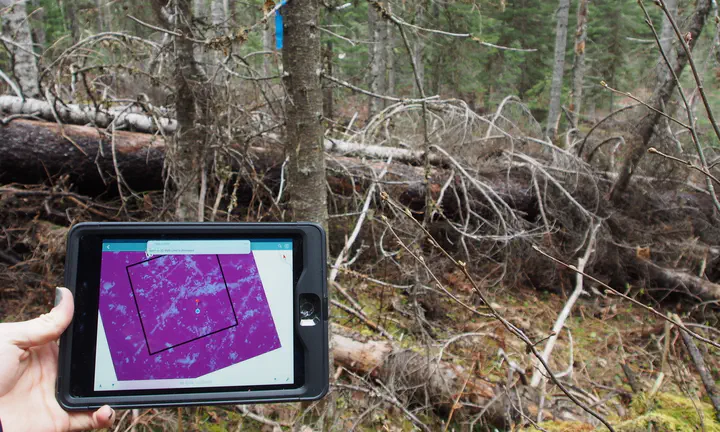 Mapping of downed woody debris. The inset tablet image contains a map showing the location of the downed woody debris in the background.
This work, part of my on-going Masters of Science studies, compares natural old forests with forests of varied harvest legacies ranging from 20 - 90 years since disturbance. In particular, Coarse woody debris (CWD), forms a critically important component of forested ecosystems providing key structures for habitat and nutrition for a plethora of organisms across the kingdoms of life. Forest structural components including: stand height, coarse woody debris loading, gaps, and snags are compared through empirical, and remotely sensed data. Aerial Laser Scanning and predictive modelling techniques are used to map these attributes. The long term recovery and quantifiable impacts of forest harvesting on the 3-dimensional attributes within forest stands and across forested landscapes is highlighted as we demonstrate that theses 3-dimensional stand structures are quantifiable and predictable.